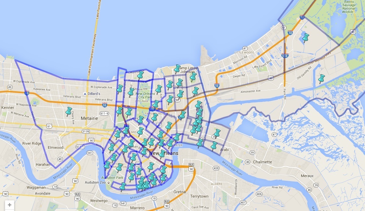
Faubourg Map
New Orleans is divided into many areas, districts and neighborhoods. You may see them referred to as Faubourgs (defined as A district lying outside the original city limits of a French-speaking city or a city with a French heritage). They are named for such things as the plantations that originally occupied the land, the smaller cities that New Orleans annexed, Projects or landmarks. You may have heard names in the news such as, “The 9th Ward”, “Tremé” (pronounced ‘Trah-MAY’), “Uptown”, “The Garden District” or “The Irish Channel”. They are recognized by non-local data sites.
Below is a Google Map I created that approximates the boundaries of these areas and gives brief descriptions and histories of them. I pulled most information from Wikipedia and The Greater New Orleans Community Data Center. If the areas has its own website, such as Faubourg Marigny , I give that as well. Just click on the thumbtack for the information (it’s much easier in the Larger, full screen map) . Admittedly, I’m way behind in the downstream areas. Posting this should give me a kick in the butt to complete them.


Discussion ¬